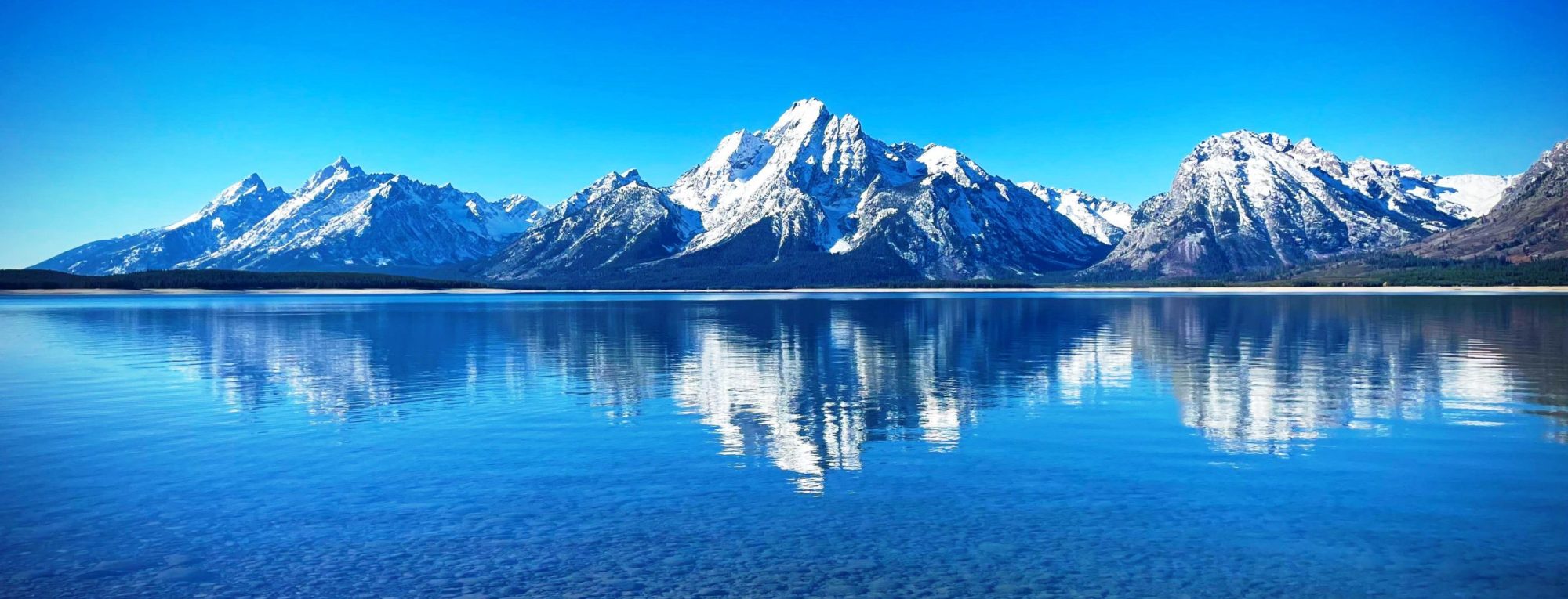
Munt Arlas (3,127 m) is a mountain in the Bernina Range of the Alps, overlooking Lake Silvaplana in the Swiss canton of Graubünden. It lies south of Piz Surlej, on the range between the main Inn valley and the Val Roseg. from Wikipedia, the free encyclopedia
The Ärmighorn (also spelled Ärmighore) is a mountain of the Bernese Alps, located east of Kandergrund in the Bernese Oberland. It lies north of the Dündenhorn, on the range between the Kandertal and the Kiental. from Wikipedia, the free encyclopedia
The Arnenhorn is a mountain of the Bernese Alps, located on the border between the Swiss cantons of Vaud and Bern. It overlooks the Arnensee on its eastern side. from Wikipedia, the free encyclopedia
Aouille Tseuque is a mountain of the Pennine Alps on the Swiss-Italian border. On its northern side it overlooks the Otemma Glacier. from Wikipedia, the free encyclopedia
The Augstenberg (also known as Piz Blaisch Lunga) is a mountain of the Silvretta Alps, located on the border between Austria and Switzerland. It has an elevation of 3,230 metres (10,597 ft) above sea level. A secondary summit on the south has an elevation of 3,225 metres. On its eastern side the Augstenberg overlooks the Pass Futschöl (2,768 m).
The Arnihaaggen (2,216 m) is a mountain of the Emmental Alps in Switzerland. It lies to the east of the Brienzer Rothorn and to the west of the Höch Gumme. The small mountain lake of Eisee lies immediately to the north. Administratively, the summit is located within the municipality of Giswil. The south summit (2,207 m) is shared between the municipalities of Giswil, to the north, Hofstetten bei Brienz, to the south-east, and Schwanden bei Brienz, to the south-west. Hofstetten bei Brienz and Schwanden bei Brienz are in the canton of Bern, whilst Giswil is in the canton of Obwalden. from Wikipedia, the free encyclopedia
The Aroser Rothorn is the highest mountain of the Plessur Alps. It is located between Arosa and Lenzerheide in the canton of Graubünden and with a summit elevation of 2,980 metres above sea level. The summit lies near the Parpaner Rothorn, which is served by a cable car. from Wikipedia, the free encyclopedia
The Aroser Weisshorn is a mountain of the Plessur Alps, overlooking Arosa in the canton of Graubünden. A two-stage cable car links the top of the mountain with the town and resort of Arosa — the base station is near to Arosa railway station. from Wikipedia, the free encyclopedia
The Arpelistock is a mountain of the Bernese Alps, located on the border between the Swiss cantons of Bern and Valais. It belongs to the massif of the Wildhorn and lies approximately halfway between the Sanetsch Pass and the summit of the Wildhorn. The north side of the Arpelistock is covered by a glacier named Geltengletscher. from Wikipedia, the free encyclopedia
Piz d’Arpiglias is a mountain of the Sesvenna Range of the Alps, located east of Susch in the canton of Graubünden. Its eastern side is part of the Swiss National Park (Macun Seeplatte). from Wikipedia, the free encyclopedia
