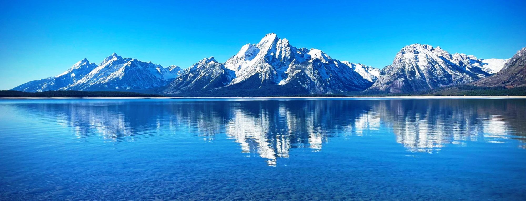
Grays Peak is the tenth-highest summit of the Rocky Mountains of North America and the U.S. state of Colorado. The prominent 14,278-foot (4352 m) fourteener is the highest summit of the Front Range and the highest point on the Continental Divide and the Continental Divide Trail in North America. (There are higher summits, such as Mount Elbert, which are near, but not on, the Divide.) Grays Peak is located in Arapahoe National Forest, 3.9 miles (6.2 km) southeast by east (bearing 122°) of Loveland Pass on the Continental Divide between Clear Creek and Summit counties. The peak is the highest point in both counties.[1][4][2][3]
Grays Peak is one of 53 fourteeners (mountains of over 14,000 feet (4,300 m) in elevation) in Colorado. Botanist Charles C. Parry made the first recorded ascent of the summit in 1861 and named the peak in honor of his botanist colleague Asa Gray. Gray did not see (and climb) the peak until 1872, eleven years later. Grays Peak is commonly mentioned in conjunction with adjacent Torreys Peak.
from Wikipedia, the free encyclopedia
