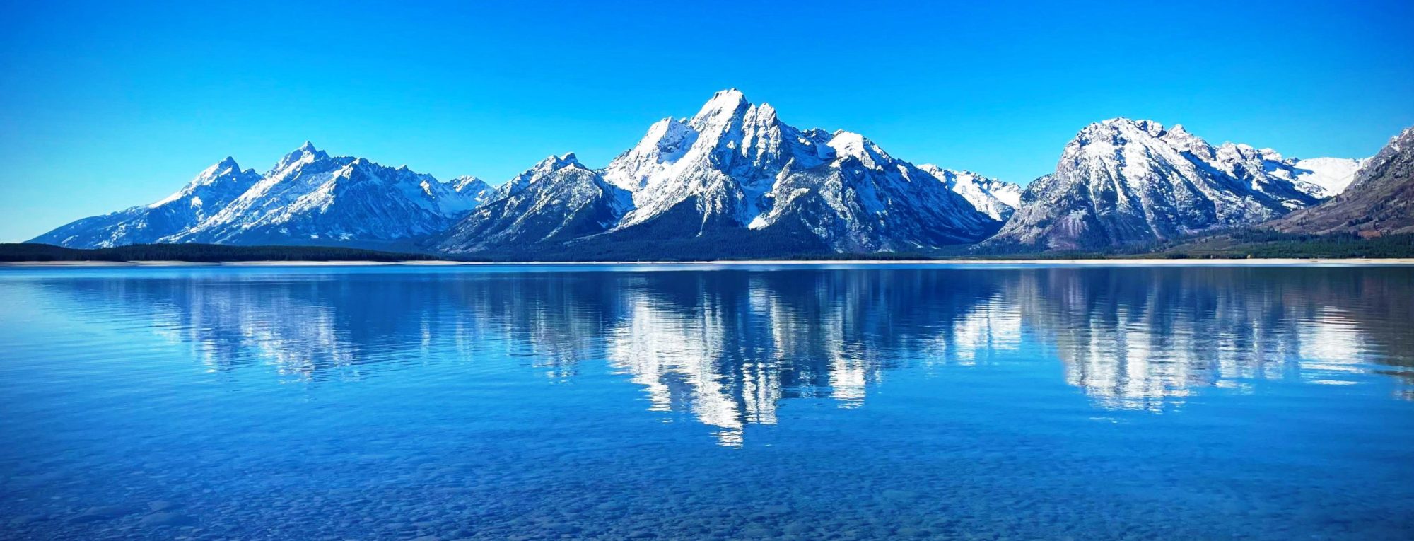
Rasletind is a mountain with two summits in Norway, the highest at 2105 m above sea level. It is located on the border between the municipalities of Vang and Vågå, in Innlandet county, but the northwestern corner of the municipality of Øystre Slidre reaches the summit of Øystre Rasletind. It is the southeasternmost summits in the Jotunheimen mountain area. It is situated on the western side of the high mountain plain of Valdresflyi. It is the eastern end of the long east-west-trending Kalvehøgde massif. The summit can be observed from most of the mountain areas south and east of Jotunheimen.
The mountain has two summits, named Øystre Rasletind and Rasletind (Øystre meaning Eastern). The name probably derives from the Norwegian word for rumble “rasle” – the sound of stones falling down. The south wall of the summits is steep, so this makes the rumble-theory even more plausible. The name is also found in the tarn south of the summits and the smaller summit on the south end of the plain south of the summits is called Raslet.
Both summits are so close to the main route – later national route 51 – across Valdresflyi, so that it has been impossible to establish who was first to reach them. They are among the most easily available 2000-meter-summits in Norway.
The mountain is among the southernmost 2000 m peaks in Norway and is made of the extremely hard gabbro rock. The gabbro in Rasletind is of the normal “gray-with-black-specs” variety which can easily be observed on the slopes that are covered with snow most of the year and gives no support to lichen colonies. The view from the summits is one of the best in southern Norway. On a clear day, you can see almost as far as Oslo. You can see the Rondane range to the east-northeast and the Dovrefjell range to the north. Due south you see the summit of the beacon of Øystre Slidre, Bitihorn, and you also see the lakes of Vinstri and Bygdin.
from Wikipedia, the free encyclopedia
