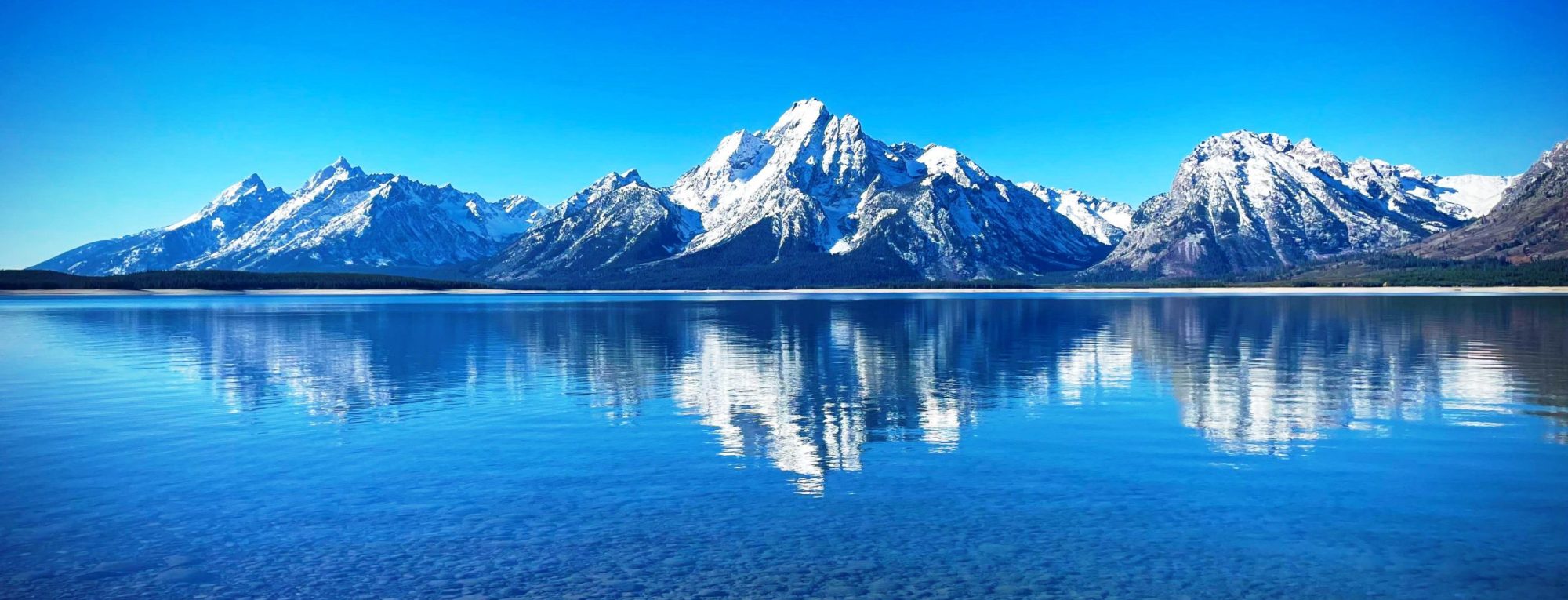
Torfinnstindene is a mountain with three summits in Norway, the highest at 2120 m above sea level. It is located within the municipality of Vang, Innlandet, in the southernmost part of the Jotunheimen mountain area. It is situated on the northern shore of lake Bygdin on the western side of the Svartdalen Valley and is the southernmost and most prominent summit on a rather long ridge containing twelve more 2000 m peaks. The summit can be observed from most of the mountain areas south of Jotunheimen. The mountain consists of three summits, named Østre, Midtre and Vestre Torfinnstind (Eastern, Middle and Western). The name probably derives from the Norwegian male name Torfinn, but some sources claim that the name derives from the local name of a type of grass and has during the last 100 years been transformed into Torfinn, which is close to the name of the grass, Turfing. The name is also found in the valley due west of the summits, the small glacier covering parts of the extremely steep north wall, the sharp ridge pointing northwards from the Western summit and the tourist lodge situated on lake Bygdin south of the mountain.
The Eastern summit was reached for the first time in 1876 by Emanuel Mohn, William Cecil Slingsby and Knut Lykken. The two first being mountaineers from Christiania and Great Britain, and the third the local expert. In 1894 the middle summit was climbed by, Andreas Saxegaard, Therese Bertheau, Antonette Kamstrup and Tostein Røine, the last one being the local expert. The western summit, which is the easiest to climb, was visited for the first time in 1912 by Rolv Ødegaard
The summits are the southernmost 2000 m peaks in Norway, but one, and is made of the extremely hard gabbro rock. The gabbro in Torfinnstindene is partly of the normal “gray-with-black-specs” variety, but parts of the eastern summit are of a red variety. The view from the summits, particularly the Eastern, is one of the best in southern Norway. On a clear day, you can see almost as far as Oslo.
The Eastern and Western summits can be reached after a rather strenuous hike, but the Middle summit can only be climbed – normally as part of a traverse of all the summits. The following is a brief description of the trip. The first part of the hike follows the grass- and flower-covered slope on the southeast flank of the Eastern summit. A number of ravines, dug out by meltwater from the Ice Age on, leads towards the summit. Only one of them leads all the way to the eastern shoulder of the summit. This is a steep climb, but with good weather conditions no equipment is needed.
from Wikipedia, the free encyclopedia
