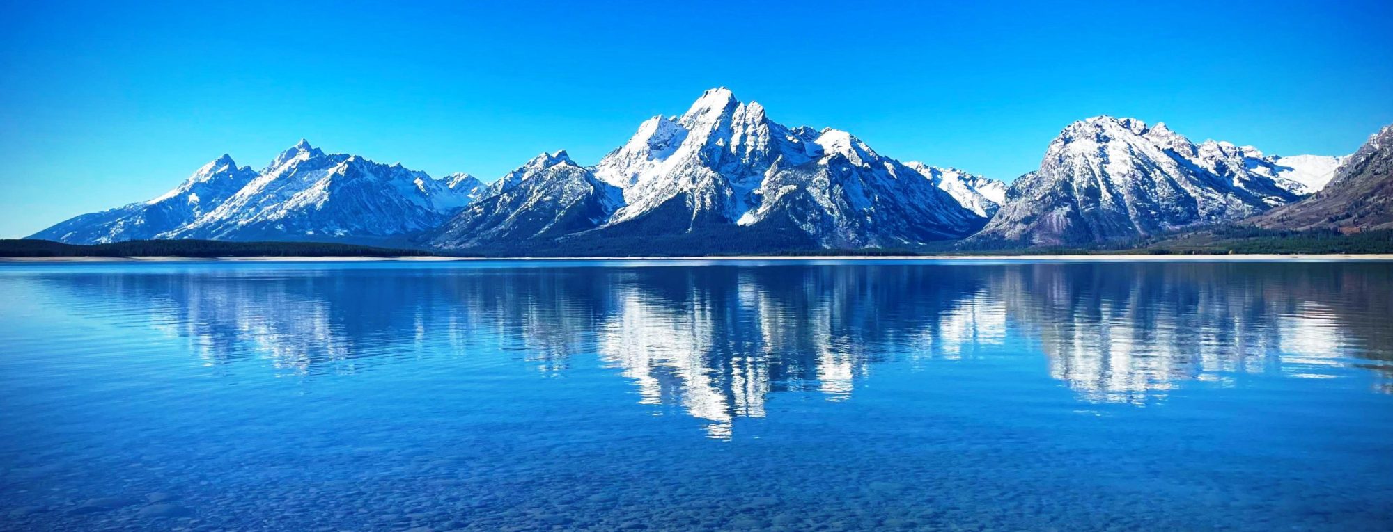
The Königspitze (German: Königspitze; Italian: Gran Zebrù) is a mountain of the Ortler Alps on the border between South Tyrol and the Province of Sondrio (Lombardy), Italy. After the Ortler, it is the second highest peak in the Ortler Alps, at a height of 3,851m. The mountain was first climbed on August 3, 1854. The mountain can be dangerous in warm weather, when the snow and ice can become unstable. The worst day for climbing fatalities on the mountain occurred on August 5, 1997, when seven people were killed in two separate incidents. On June 23, 2013, six were killed, also in two separate incidents. In March, 2018, three skiers died in an avalanche. from...
The Königsangerspitze (Italian: Monte Pascolo; German: Königsangerspitze) is a mountain in the Sarntal Alps in South Tyrol, Italy. Until the 19th century it was also known as Mount Rodella. from Wikipedia, the free encyclopedia
The Kohlbergspitze is a 2,202 m (AA) high summit on the main chain (Daniel ridge) of the Ammergau Alps in Tyrol, Austria. Less common names for the mountain are the Zigersteinjoch, Stapferwiesjoch and Zigerstein (also the name of a small rock pinnacle with a summit cross on the southwest side of the Kohlbergspitze). With its 300-metre-high north faces and grassy and less steep southern slopes is the first prominent summit in the western part of the main chain. from Wikipedia, the free encyclopedia
The Kofel is a 1,342 metres (4,403 ft) mountain in the Bavarian Alps of Germany. With its distinctive white head it is the signature mountain of the town of Oberammergau, from which the summit is only about one km away. Due to its prominent location and unique shape it can be identified from a considerable distance both from the direction of Ettal and that of Unterammergau. The direct route starts at the Döttenbühl parking lot (altitude 840 metres (2,760 ft)), near the Oberammergau cemetery. After crossing a meadow called the Kälberplatte, with a view looking up to the imposing end of the climb, the greater part of the ascent is a wooded...
The Klockerin, formerly also called the Glockerin or Glocknerin, is a twin-peaked mountain in the Glockner Group on the ridge of Fuscher/Kapruner Kamm in the High Tauern, a range within the Central Alps in the Austrian state of Salzburg. Its southwest top (Südwestgipfel) is 3,422 m (AA) high, its northeast top (Nordostgipfel) has a height of 3,335 m. The two summits are about 240 metres apart. A prominent arête runs westwards; the west-northwestern arête is a short, but knife-edge ridge of rock. The Klockerin has a mighty Northwest Face which is 920 metres high and has a gradient of 54°. The mountain is geographically dominant compared with the southern and western neighbouring peaks. Especially from the west, where the Mooserboden Reservoir (surface at 2,036 m) lies,...
The Klingenstock (also spelled Chlingenstock) is a mountain of the Schwyzer Alps, located between Stoos and Riemenstalden in the canton of Schwyz. Its summit is accessible by chair lift from Stoos. from Wikipedia, the free encyclopedia
Klek (1,754 meters or 5,755 feet; German: Hahnkogel), also known as Petelin or Petelinjek to locals from the villages on the Slovene side below its summit, is a peak in the Western Karawanks, between Golica/Kahlkogel to the east and Dovška Baba (German: Frauenkogel) to the west. It lies on the border between Slovenia and Austria above the town of Jesenice. On the northern side towards Carinthia the peak itself is very steep and mostly composed of brittle rock and scree, and is accessible from Rosenbach on the Austrian side only via Rožca Saddle. Due to their inaccessibility, its northern slopes are known for their alpine flora, particularly the protected edelweiss. It is more easily accessible from the Slovene side from Planina pod Golico. from Wikipedia, the free encyclopedia
At the height of 3,770 metres (12,370 ft) the Kleinglockner is the third highest mountain summit in Austria. However, with a prominence of only 17 metres it is arguable whether it can be counted as an independent mountain, or just as a subpeak of the Großglockner. It lies in the Glockner Group of Austria’s Central Alps, the middle section of the Hohe Tauern. Geographically and geologically speaking, it is viewed a secondary summit of the neighbouring Großglockner, but in the literature, in view of its importance to mountaineering, it is in some cases treated as separate. Its peak forms part of the Glockner crest or ridge (Glocknerkamm) and lies exactly on the...
The Kleines Schreckhorn is a mountain of the Bernese Alps, located south of Grindelwald in the Bernese Oberland. It lies between the valleys of the Lower Grindelwald Glacier and the Upper Grindelwald Glacier, north of the Schreckhorn. from Wikipedia, the free encyclopedia
The Kleiner Mythen is a mountain in the Schwyzer Alps of Central Switzerland. The mountain lies in the canton of Schwyz, to the east of the town of Schwyz, to the south of the village of Alpthal in the valley of the Alp river, and to the north of the Grosser Mythen. from Wikipedia, the free encyclopedia
