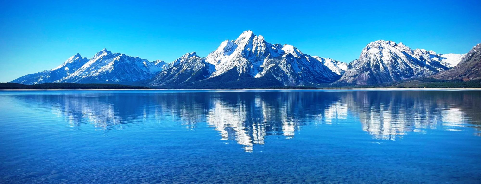
The Fronalpstock is a mountain in Switzerland, in the Schwyzer Alps and the canton of Schwyz. It has an elevation of 1,921 metres (6,302 ft) above sea level. The summit is accessible by a chair lift from the village of Stoos. from Wikipedia, the free encyclopedia
The Fronalpstock is a mountain of the Glarus Alps, located east of Glarus in the canton of Glarus. from Wikipedia, the free encyclopedia
The Fromberghorn (or Fromberghore) is a mountain of the Bernese Alps, located between Diemtigen and Reichenbach im Kandertal in the Bernese Oberland. It lies just south of the Niesen. from Wikipedia, the free encyclopedia
The Fritzerkogel is a mountain in the Tennengebirge (Tennen Mountain Range) in the northern Limestone Alps, Austria. With its elevation of 2,360 metres (7,740 ft), is one of the higher peaks in the mountain range. Seen from the north it stands out as a relatively isolated, broad summit block, whose mighty rock faces and steep, rugged, rocky flanks (Schrofen) fall away on all sides. Its 1,200-metre-high (3,900 ft) south cliff face is impressive and makes it a striking two-thousander. from Wikipedia, the free encyclopedia
The Frilihorn is a mountain of the Swiss Pennine Alps, located between the Val d’Anniviers and the Turtmanntal in the canton of Valais. The Frilihorn rises to a height of 10,249 ft (3,124 m), making it the 758th highest mountain in Switzerland. It is located east of Ayer and south of Gruben. It sits to the north of Wängerhorn peak, south of Minugrat peak and south east of L’Omen Roso peak. from Wikipedia, the free encyclopedia
Pic du Frêne (2,807 m) is a mountain in the Belledonne Massif in Savoie, France. from Wikipedia, the free encyclopedia
The Freiungspitzen (plural) are a group of 3 peaks in the Erlspitze Group in the Karwendel Alps on the territory of the Austrian municipality of Zirl. The highest summit, the west top, has a height of 2,332 m (AA), the middle top is 2,322 m (AA) and the east top is 2,302 m (AA). from Wikipedia, the free encyclopedia
Frau Hitt was probably first climbed in 1580 by Johann Georg Ernstinger. It was conquered several times during the 19th century by unknown mountaineers. Frau Hitt is usually climbed via the west shoulder (at one place III, otherwise II). To reach this shoulder there is a route from the east (grade II) and a rather more difficult one (III+) from the west. The Frau Hitt Saddle (2,235 m above sea level (AA)) lies west of Frau Hitt, where a crossing from the Inn Valley to the Gleirschtal valley is possible (the protected ascent to the Frau Hitt Cirque (Frau Hitt-Kar) is north of and below Frau Hitt). Neighbouring...
Mont Fourchon is a mountain of the Pennine Alps, located on the border between Switzerland and Italy. It is located on the main chain of the Alps, approximately halfway between the Grand Golliat and the Great St Bernard Pass from Wikipedia, the free encyclopedia
Mont Fort is a mountain of the Pennine Alps, located near Verbier in the Swiss canton of Valais. It lies on the range between the valleys of Bagnes and Nendaz, north of the Rosablanche. With a height of 3,328 metres above sea level, Mont Fort is the highest summit north of the Col de Louvie (2,921 m). Mont Fort is surrounded by several glaciers, the largest being the Glacier de Tortin, on its northwestern side. The second largest is the Glacier du Mont Fort, located on its northeastern side. On its eastern side lies the lower summit Petit Mont Fort (3,135 m). The Glacier du Petit Mont Fort lies between the two summits. There are no glaciers...
